Podcast: Play in new window
BOB HIRSHON (host):

Making maps more accessible. I’m Bob Hirshon and this is Science Update.
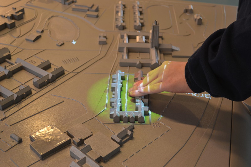
Most “You Are Here” style maps common at college campuses and other institutions are all-but-useless to the visually impaired. Now, researchers at the University of Buffalo’s Center for Inclusive Design have teamed up with a company called Touch Graphics to create multisensory, 3-D talking maps to help everyone find their way around. Center director Edward Steinfeld explains.
EDWARD STEINFELD (Center for Inclusive Design and Environmental Access, SUNY Buffalo):
mutlisensory information is more effective than providing information in just one modality, and altogether you get a better sense of where you are.
HIRSHON:
For instance, visitors to the Perkins School for the Blind can get directions by touching miniature buildings with their fingertips.
SFX: Tower bell: “Howe building: Exit the campus side door and turn left, at the end of the sidewalk turn left and walk slightly uphill to the third intersecting sidewalk on the right…”
HIRSHON:
The team hopes to install similar maps in large museums in the near future. I’m Bob Hirshon, for AAAS, the science society.
